Setting Sail for the New World: Maps and Overseas Knowledge
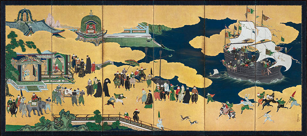
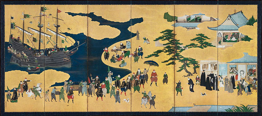
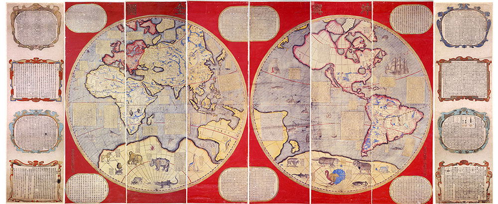
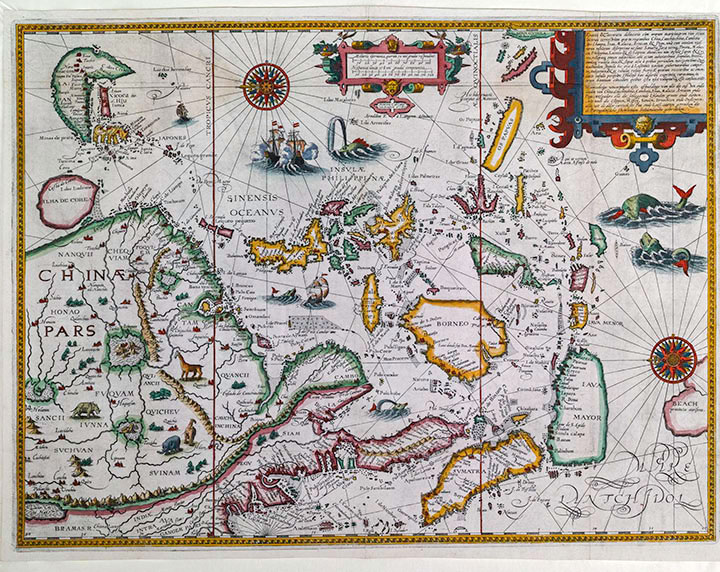
The Namban screens at the beginning of the exhibition (in the first part painted by Kano Naizen being a Japanese Important Cultural Property) reflects the exchange in material culture between Europe and Asia as well as in Asia spurred by Portuguese trade in the 16th and 17th centuries. Of all the overseas intelligence gathered at the time, maps are the most typical in terms of visual testimony. This type of world map brought by the Jesuits spread in China, and later the information therein included additions and corrections that were then passed into Japan. Among the most famous contributors in this respect was the Italian missionary Matteo Ricci. The maps he brought to China would later become the foundation and model for the world maps made and used by the Jesuits.
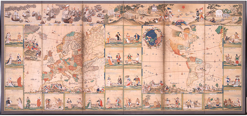
In addition to maps allowing users to understand the geography of the world, the illustration of accompanying figures in them presented viewers in East Asia with a greater understanding of the world. This system of encompassing “everything in the world” as a means to grasp outside information not only was expressed in later woodblock prints but also in ceramics.